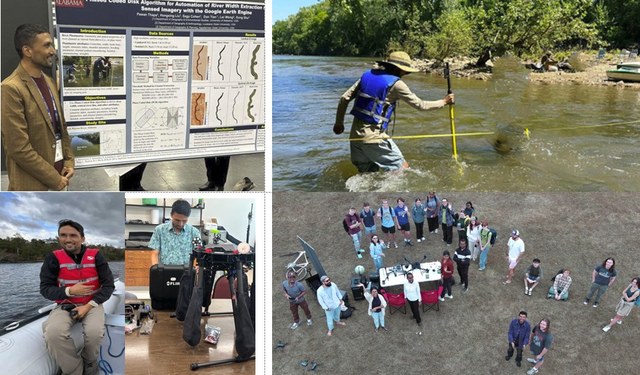
I am a Ph.D. Candidate and Teaching Assistant at the University of Alabama, specializing in GIS, Remote Sensing, and Fluvial Geomorphology.
My academic and professional journey reflects a deep commitment to advancing geospatial science and applying cutting-edge technologies to solve complex environmental challenges.
GIS |Remote Sensing |Fluvial Geomorphology| Geoinformatics | Geomatics | Hydrology | Flood Risk Assessment| Geoscience| Land Use and Land Cover Change | Climate Change | Terrestrial Environments | ​Geospatial Analysis | Conservation
Featured articles, publications, etc.
THAPA P., Davis, L., Amanambu, A., LaFevor, M., Frame, J. (2025). Enhanced river planform analysis using deep learning and medial axis transform with Sentinel 1A imagery. Earth Surface Processes & Landforms 50: e7015B, https://doi.org/10.1002/esp.70158 Q1, Journal Impact Factor: 2.7, Publisher: Wiley.
THAPA P., Thapa M. (2025) Drone in Hyperspectral Remote Sensing (HRS) Data Analytics: Techniques and Applications, Geocarto International, https://doi.org/10.1080/10106049.2025.2572670 Q1, Journal Impact Factor: 3.5, Publisher: Taylor & Francis Ltd.
THAPA P. (2020). Spatial estimation of soil erosion using RUSLE modeling: a case study of Dolakha district, Nepal. Environmental Systems Research, 9(1), 1-10, https://doi.org/10.1186/s40068-020-00177-2 Q2, Journal Impact Factor: 3.4, Publisher: SpringerOpen (Springer Nature).
THAPA P., Thapa, N., Thapa, M. (2025). Deep Learning-Enhanced Flood Risk Mapping for Urban Planning and Disaster Mitigation in the Morang District, Nepal Himalaya. In: Ghosh, S. (eds) The Himalaya Dilemma. Springer Natural Hazards. Springer, Cham. https://doi.org/10.1007/978-3-031-95083-4_21
THAPA, P. (2025). MMATWidth: Detection of River Centerlines Extraction and Width Estimation Using Modified Medial Axis Transform. In 2025 IEEE Region 10 Symposium (TENSYMP) (pp. 1-4). IEEE. 10.1109/TENSYMP63728.2025.11144976
Please feel free to contact me at my email address or through my LinkedIn Account below.
pawanthapa42@gmail.com