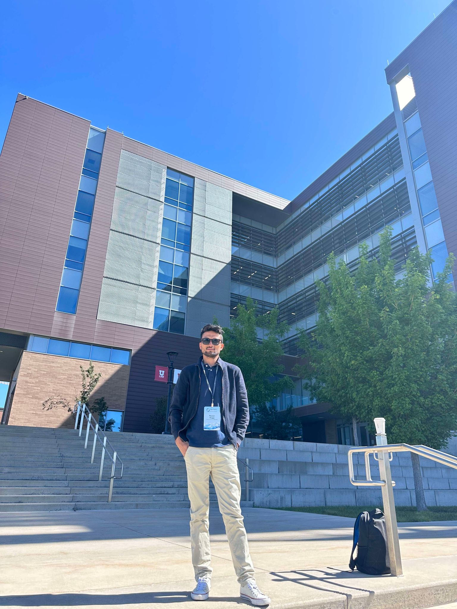
Pawan Thapa
🚀 About Me
I’m a passionate PhD Candidate at the Department of Geography and the Environment at the University of Alabama, focusing on the fascinating intersection of Geographic Information Science (GIS), Remote Sensing, deep learning and Machine Learning to understand how rivers change over time.
My research focuses on river meander detection and classification using satellite imagery (including Sentinel-1 SAR) and deep learning workflows. I combine geomorphic metrics with spatial–temporal reasoning to analyze river dynamics, estimate channel characteristics, and support applications such as flood risk assessment, hydrological/hydraulic modeling, and environmental monitoring.
Before starting my PhD, I lectured at Kathmandu University, Nepal. I hold an M.Sc. in Geoinformatics from the University of Münster, Germany, and a background in geomatics engineering that continues to shape my approach to geospatial problem-solving.
🛠️ My Toolkit
Programming Languages:
- 🐍 Python
- 🌐 JavaScript
- 📊 R
Key Areas of Expertise:
- 🗺️ GIS, Geospatial, Geomatics, Geoinformatics
- 🛰️ Remote Sensing
- 🤖 Machine Learning & Deep Learning
- 🌊 River Analysis & Flood Modeling
📂 Featured Projects
- Medial Axis Transform Approach: Innovative methods for river centerline extraction.
- Meander Classification using Machine Learning: Applying ML to classify river meanders.
- Deep Learning Meander Classification: Advanced classification with deep learning models.
- CrossSections Extraction Visualization: Visualizing river cross-section data.
- Deriving Morphological Information: Extracting river morphology insights.
- Flood Inundations: Modeling and mapping flood inundation.
- Integrated Information System: Building comprehensive information systems.
- Image Segmentation: Advanced image analysis techniques.
- Satellite Overpass Predict: Predicting satellite overpass times.
- SWAT Modeling: Hydrological modeling with SWAT.
📦 Packages
- MMAT: Python package for Medial Axis Transform.
- MMATCWE: Another robust Medial Axis Transform Python package.
🌐 Applications
- MATGlobal: Global Medial Axis Transform application.
- MATCW: Meander classification web application.
- MCM: Meander classification model.
- SlopeCurvature: Slope and curvature analysis tool.
- Flood Morang: Flood analysis for Morang region.


